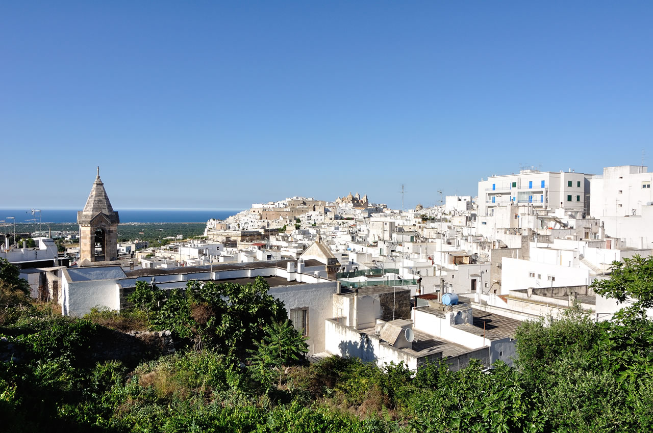
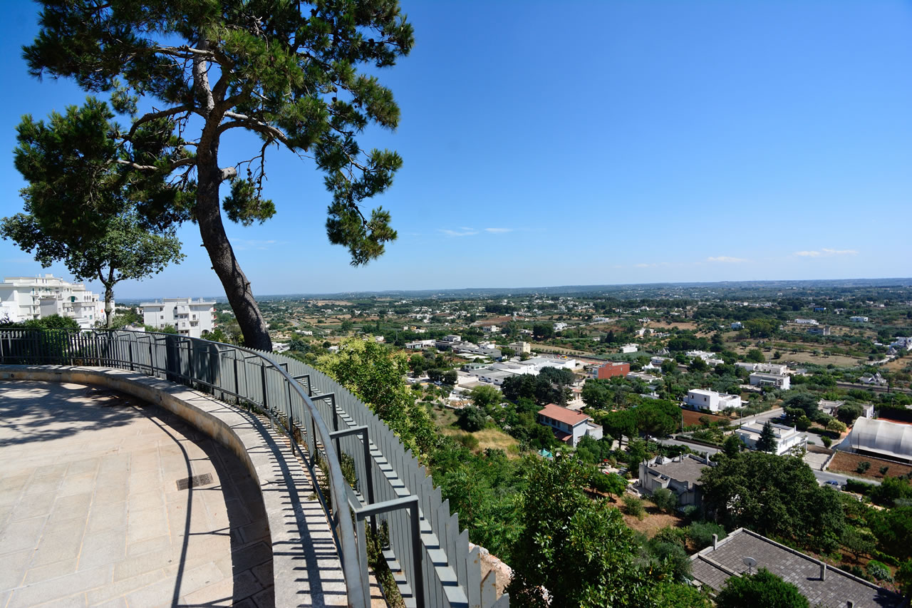
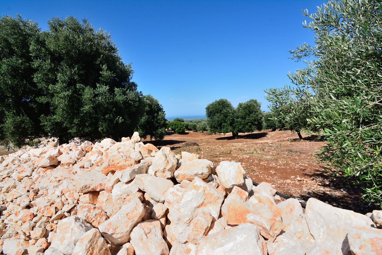
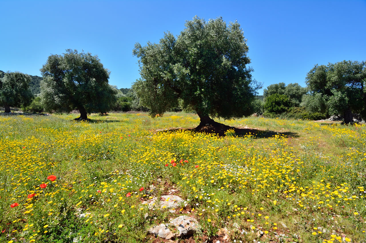
The Itria Valley is a karst depression located in the southern part of the Murge plateau, straddling the provinces of Bari, Brindisi, and Taranto. This area, which includes the municipalities of Alberobello, Locorotondo, Martina Franca, Cisternino, and Ceglie Messapica, is characterized by a unique rural landscape. The soil, dominated by the red of the ferrous soil and the white of the limestone, is punctuated by a dense network of dry stone walls, monumental vineyards, and olive groves.
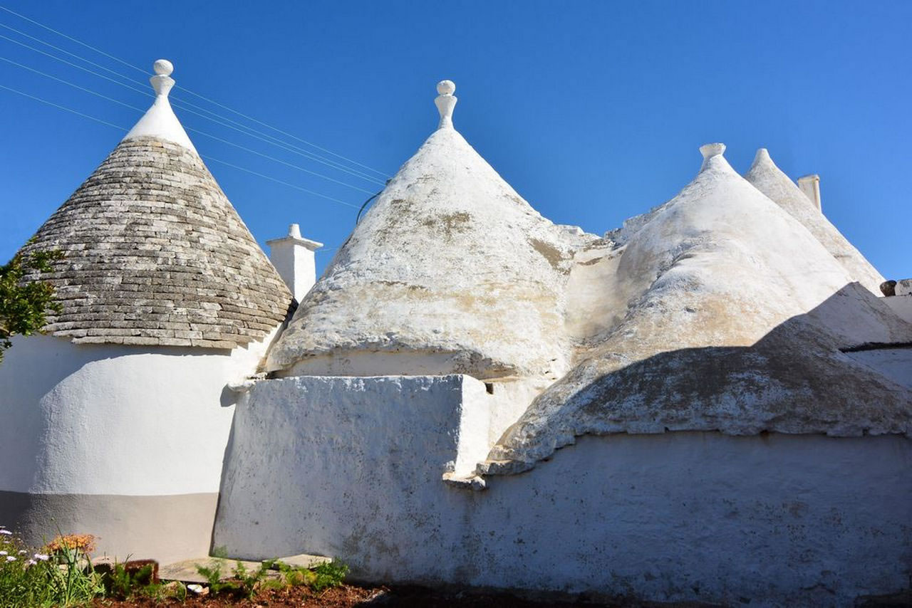
The area's defining characteristic is the trullo, a spontaneous dry-stone structure that finds its greatest urban concentration in Alberobello, protected by UNESCO since 1996.

Alberobello and the Itria Valley
Alberobello
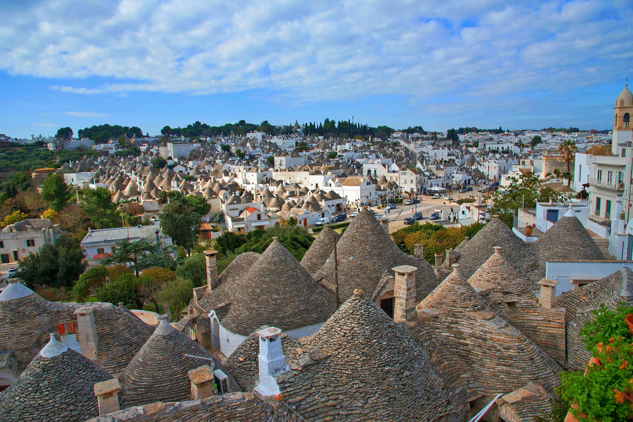
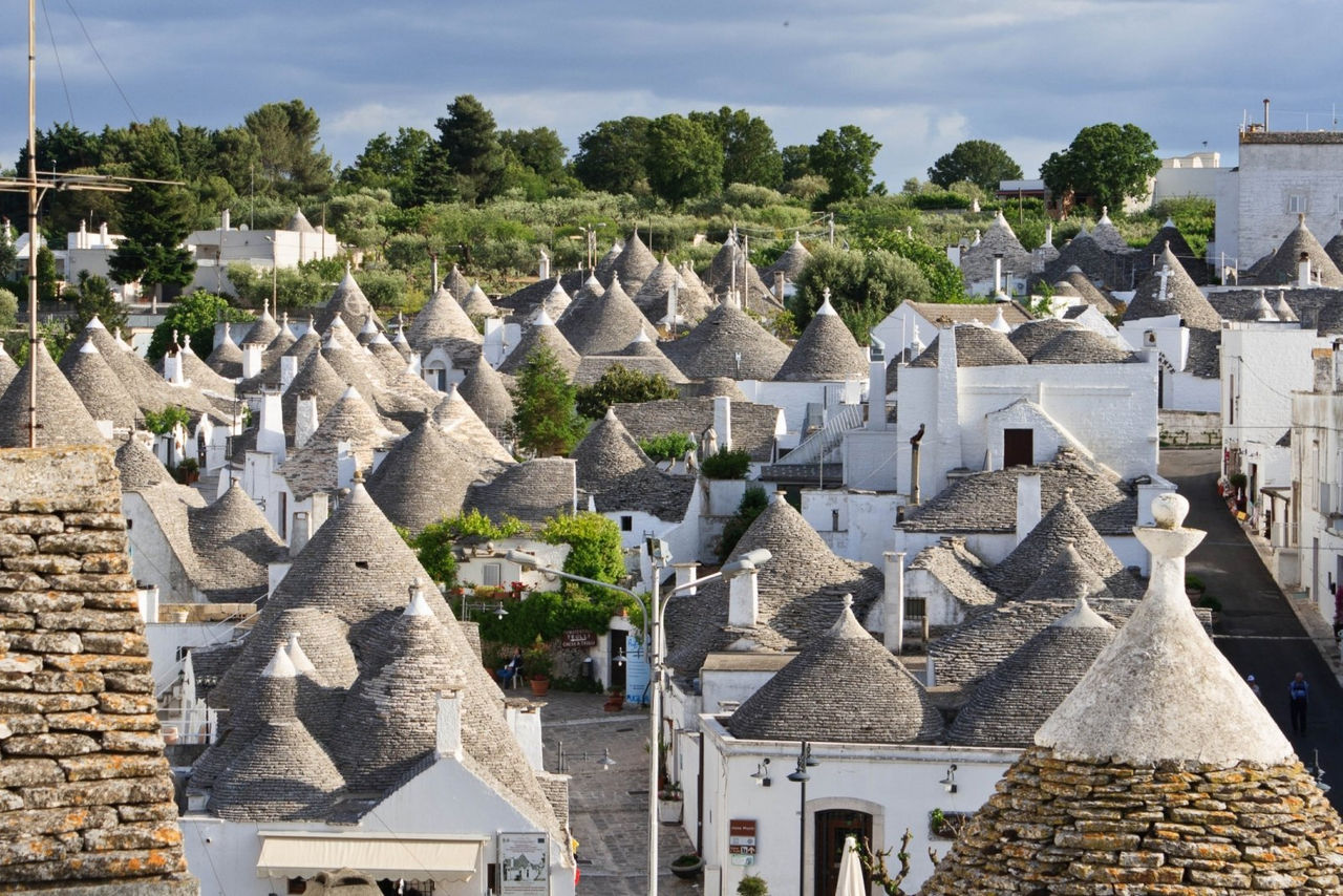
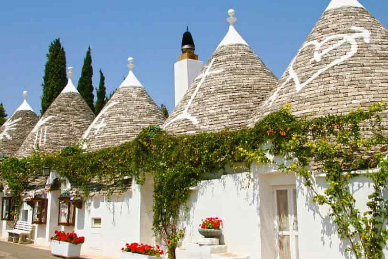
Unlike the isolated trulli in the valley countryside, Alberobello is distinguished by the presence of entire urban neighborhoods composed exclusively of these underground, conical structures. The Monti district is the largest and most monumental, nestled on a hill with over 1,000 trulli arranged along sloping streets. It is home to famous structures such as the Trulli Siamese, joined at the summit but with separate entrances on different streets. The Aia Piccola district, composed of approximately 400 trulli, is the area that best preserves its original residential function and authentic atmosphere, less tied to commercial activity.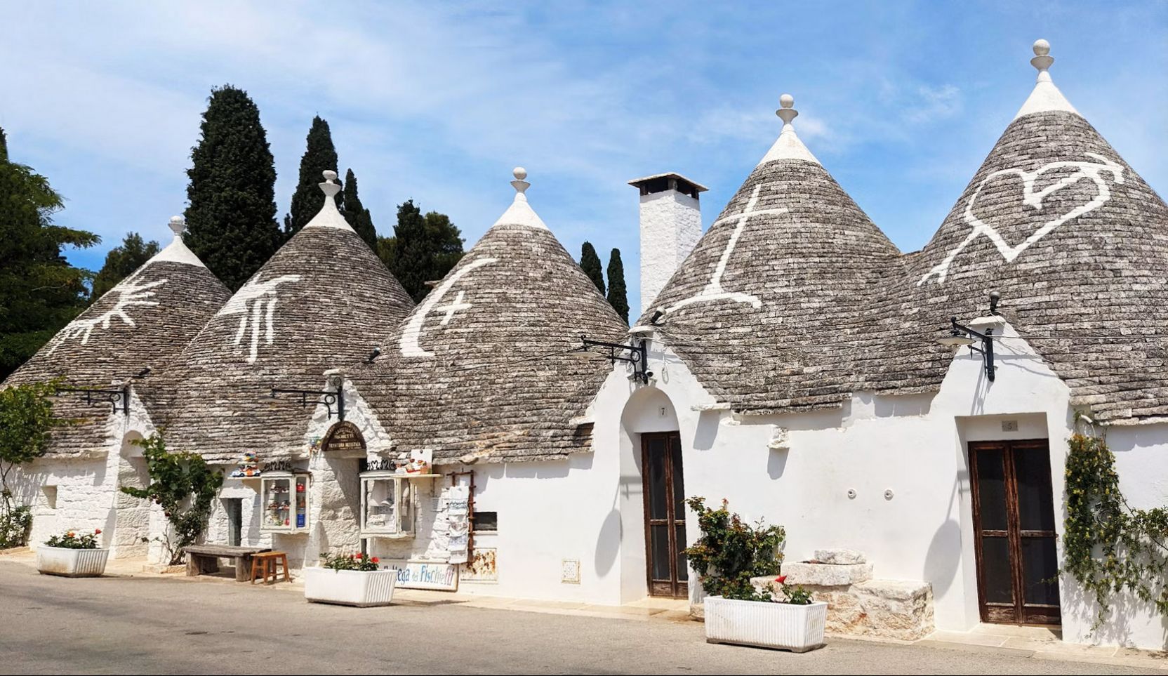
The trullo
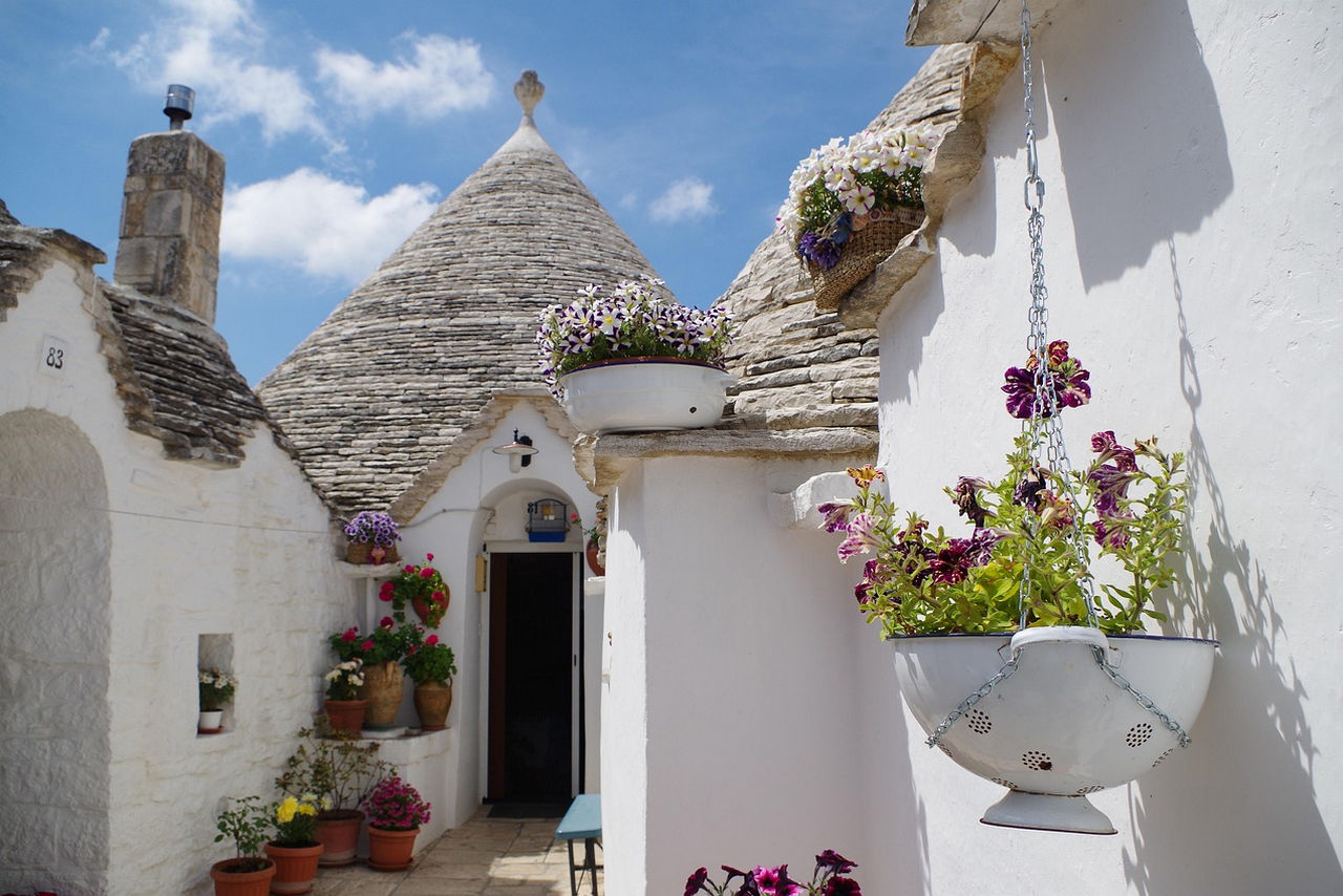
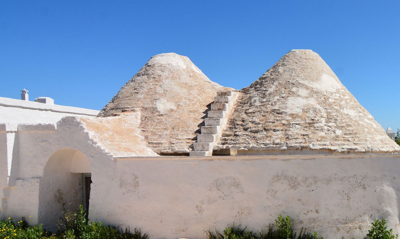
The trullo is a prime example of sustainable and flexible construction. It is built without the use of mortar or cement. The structure is based on thick perimeter walls (which ensure optimal thermal insulation) topped by a pseudo-dome of concentric circles of flat limestone blocks, called chiancarelle. The roofs are topped with a decorative pinnacle and often feature astrological, religious, or pagan symbols painted with limewash.The Itria Valley
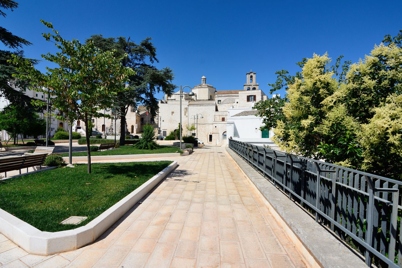
Beyond the center of Alberobello, the Itria Valley is divided into a series of circular historic centers perched on the hills, each with its own distinct urban and architectural identity.
Locorotondo
Characterized by a perfectly circular layout, the historic center is dominated by the cummerse, typical rectangular houses with pointed sloping roofs covered with chiancarelle (stone blocks), which clearly differentiate the architecture of this village from the rest of the valley.
Martina Franca
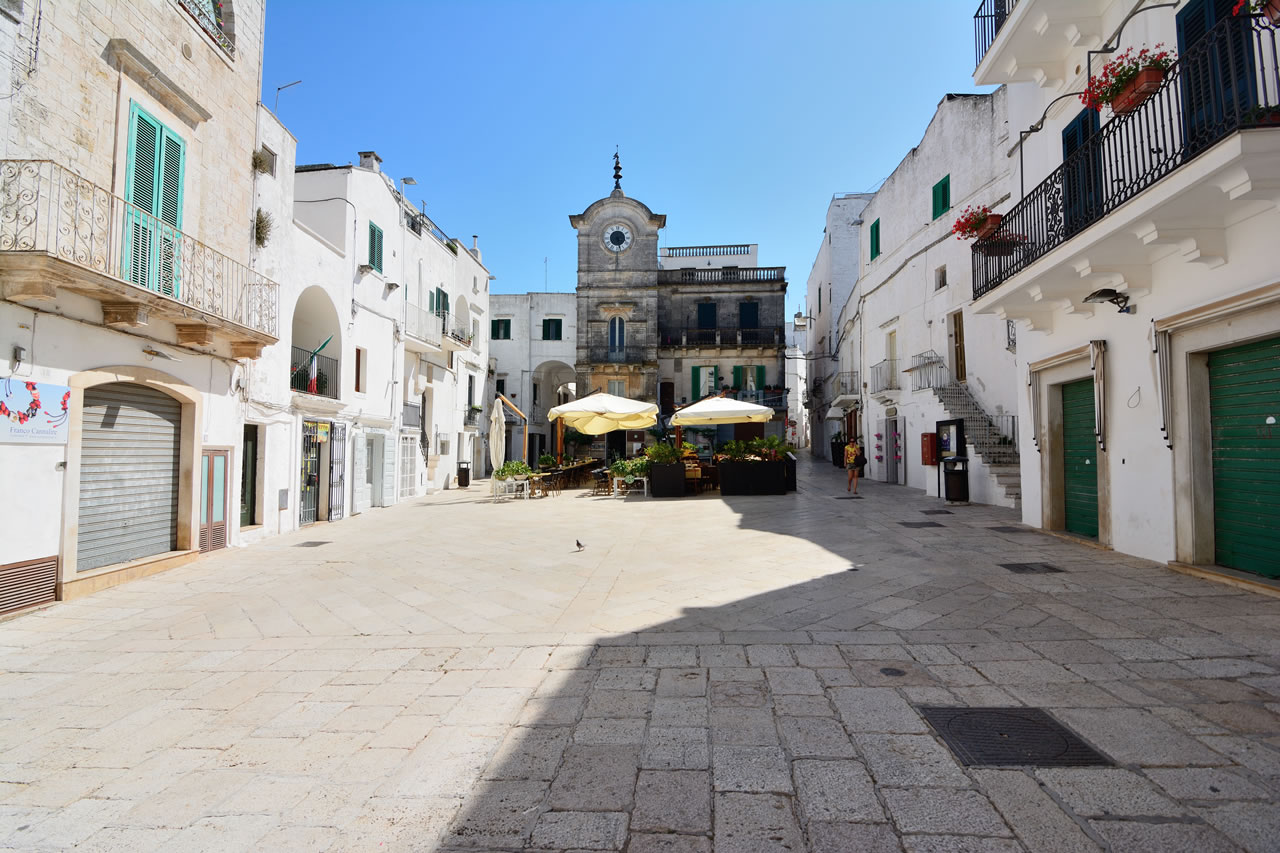
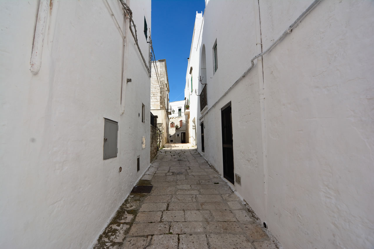
Represents the economic and cultural center of the valley. It stands out from neighboring villages for its distinctly Baroque and Rococo architectural development. The whitewashed dead-end alleys give way to stately palaces with wrought-iron balconies, monumental portals, and the grandiose Basilica of San Martino.
Cisternino
Its urban fabric has a spontaneous, medieval feel, with houses built side by side, arches connecting the dwellings, external stairways, and narrow internal courtyards reminiscent of North African casbahs.
Agronomy and Typical Products of the Itria Valley
The landscape of the Itria Valley is the result of centuries of agricultural work aimed at clearing the calcareous soil of stones. The stones removed from the fields were reused to build the dry stone walls that delimit the properties and to construct the trulli themselves.Precision Viticulture
The valley is a land of excellent native white wines, favored by the temperature range between day and night due to the altitude (about 300-400 meters above sea level). The Locorotondo DOC and the Martina Franca DOC stand out, produced primarily from Verdeca and Bianco d'Alessano grape varieties.
Capocollo di Martina Franca
A local delicacy, listed among the gastronomic protection organizations, this cured meat is made from the bundle of pork neck muscles. The meat is marinated in local cooked wine, spiced and traditionally smoked with fragno bark (an oak tree found almost exclusively in this area of Puglia) and almond husk.
Roads and connections
Useful information on roads and connections for touristsRoad Accessibility
The Itria Valley is easily accessible from the Ionian (Taranto) and Adriatic (Bari/Brindisi) coasts via the SS172 dei Trulli, the main scenic road connecting all the villages in the area.
The Apulian Aqueduct Cycle Route
An excellent cycling infrastructure that traverses the valley. It uses the service roads of the historic conduit of Europe's largest aqueduct, offering protected dirt trails through olive groves and trulli, ideal for leisurely hiking or cycling.
-
Agriturismo Masseria Prichicca
Contrada Caccamone
74011 Castellaneta (TA) - Italy
Tel: +39 339 8171006
Email: info@masseriaprichicca.com
VAT: IT02232900734
CIN: IT073003B500124671 -
Contact Privacy Email Map Phone Whatsapp 
Credits: basilicatanet.com
 Sito Italiano