
Matera
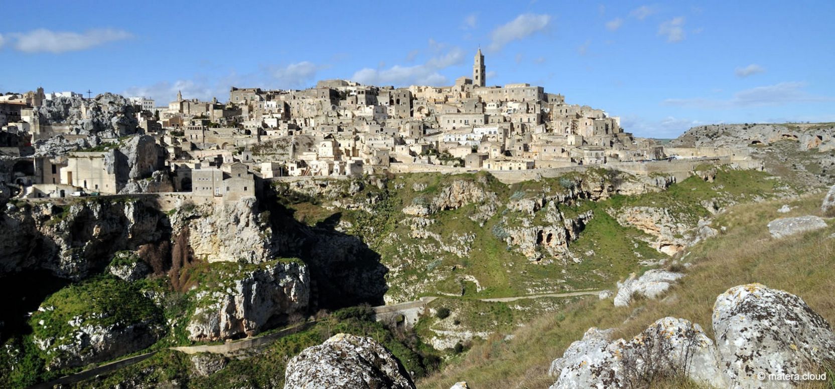
Matera is located just 30 km from the Masseria Prichicca Agriturismo and stands on the edge of a deep rift valley, the Gravina di Matera, which separates the Murgia plateau from the urban fabric. A UNESCO World Heritage Site since 1993, the city is an exceptional example of a continuous cave settlement from the Paleolithic to the present. The historic core is divided into three distinct and overlapping urban systems: the Sassi, or two excavated districts, Sasso Barisano and Sasso Caveoso; the Civita that divides them; and the 18th- and 19th-century city that developed on the upper level.
This urban system is located along one side of the great canyon of the Gravina di Matera, while on the other side lies the Murgia Materana Park, also one of the most spectacular rock landscapes in Europe, representing the version of intact places with prehistoric and medieval cave settlements.
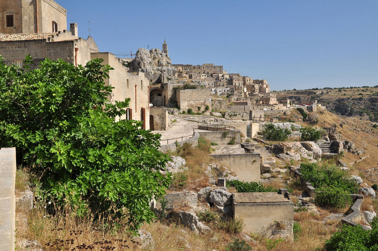
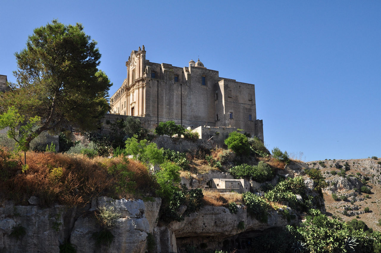
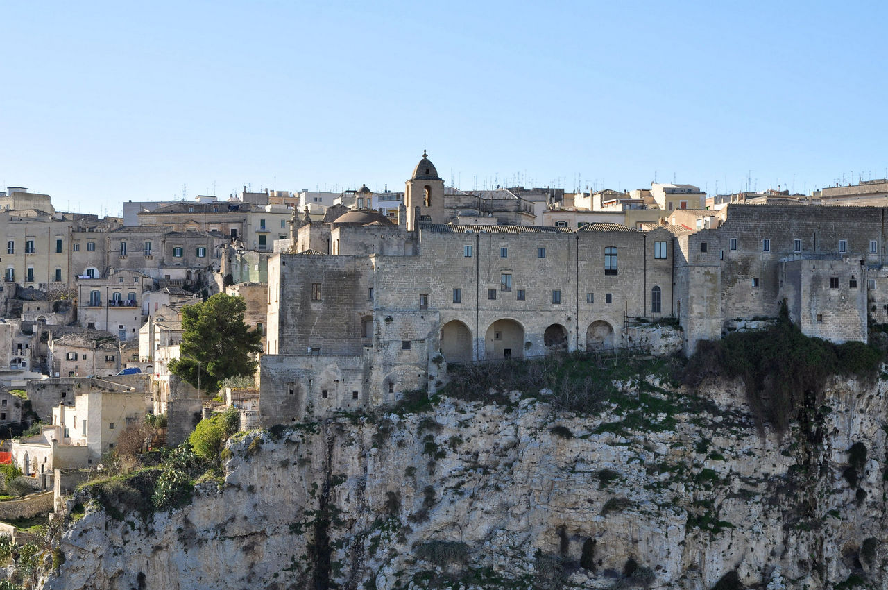
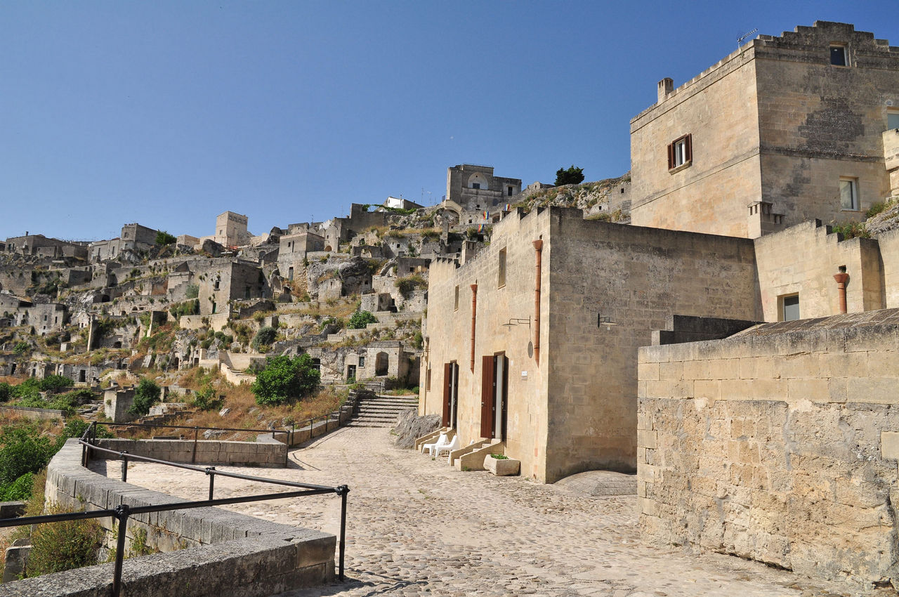
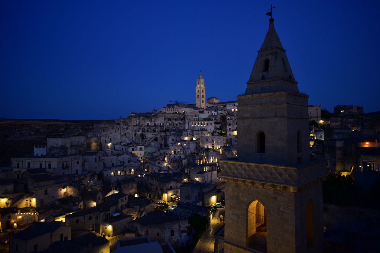
The Sassi of Matera
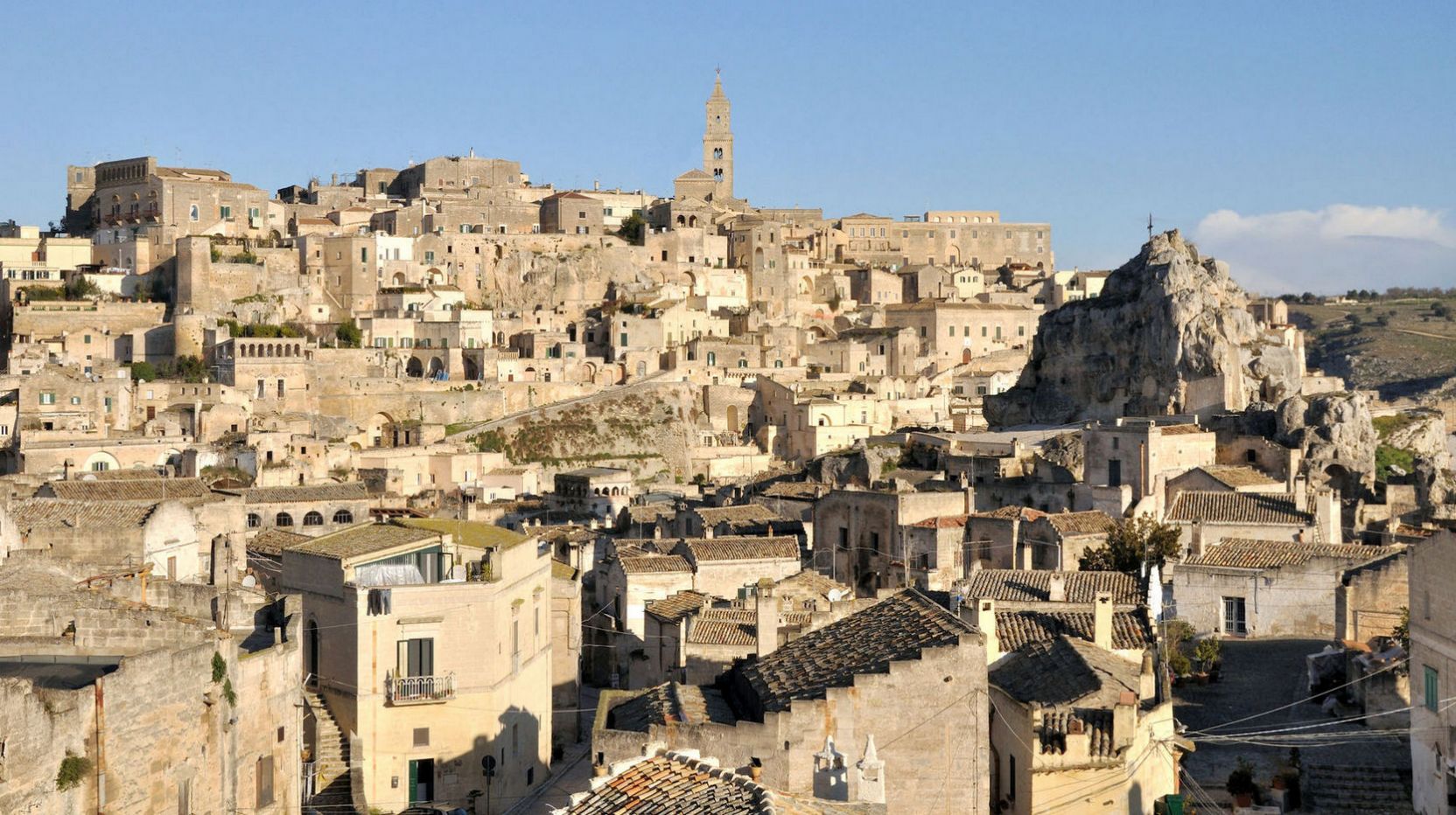
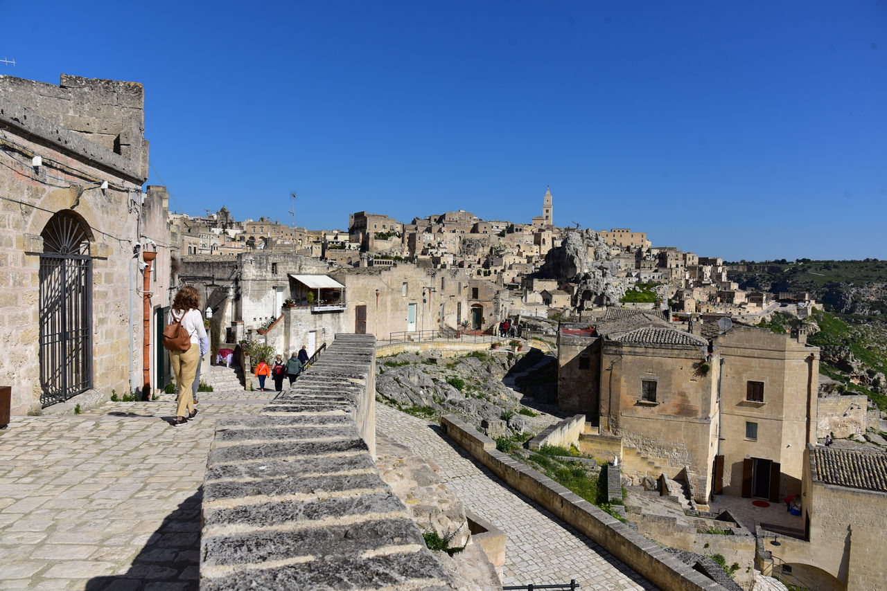
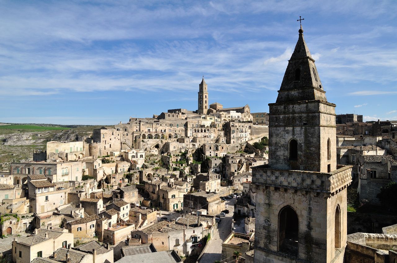
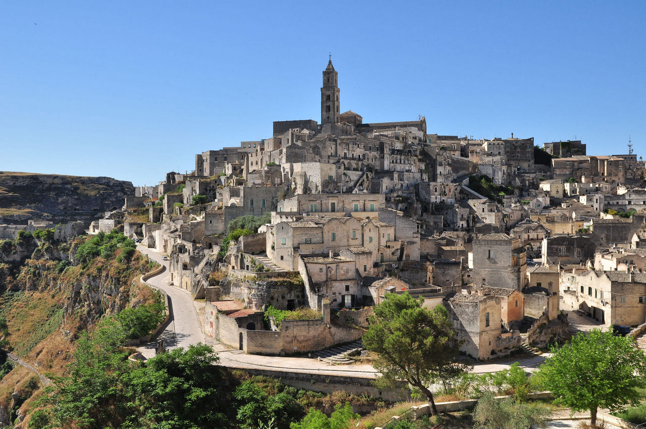
The Sassi of Matera are two districts covering approximately 32 hectares that extend within two natural amphitheaters carved out by the Gravina stream. The architecture of the districts is defined as "negative": the space is not built upon, but removed by subtraction from the tuff rock (calcarenite).
The Sasso Barisano
Facing northwest, along the exit route toward Bari. It is the largest district and features the greatest stratification of built architecture (Renaissance and Baroque palaces and facades that cover the underground cavities behind them).
The Sasso Caveoso
Facing south, toward Montescaglioso. It retains its original rock-cut appearance almost intact. The dwellings are entirely carved into the rock and arranged in terraces along the sides of the canyon.
The Civita: The rocky spur that separates the two Sassi. It represents the oldest fortified nucleus of the city, surmounted by the Romanesque Cathedral of the Madonna della Bruna and Sant'Eustachio (13th century).
The Underground Water System: The key to the UNESCO inscription lies in the water collection system. Beneath the Sassi lies a network of cisterns, settling canals, and palombari (such as the Palombaro Lungo under Piazza Vittorio Veneto, a monumental cistern 15 meters deep and 50 meters long) that collected rainwater and condensation, ensuring the city's water supply.
The Historic Center on the Plain - The Eighteenth-Century Axis
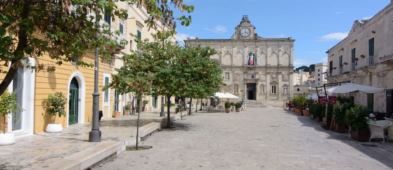
Above the Sassi lies the "Piano," the modern city that emerged in the 17th century following the relocation of the wealthy classes and ecclesiastical and civil institutions from the cave districts.
Piazza Vittorio Veneto
The heart of the Piano. It acts as a link between the 19th-century city and the underground accesses to the Sasso Barisano. The square is overlooked by the Palazzo dell'Annunziata and the panoramic viewpoint.
The Eighteenth-Century Axis
Winding along Via del Corso, Piazza San Francesco, and Via Ridola, this area is characterized by Baroque and stately architecture, including the Church of San Francesco d'Assisi, the Church of Purgatorio (a celebration of the Baroque style of Lecce and Matera), and Palazzo Lanfranchi, now home to the National Museum of Medieval and Modern Art of Basilicata.
The Sassi Evacuation
The Plan took on a central role after the 1952 special law, signed by Alcide De Gasperi, which mandated the forced evacuation of the Sassi for health and hygiene reasons and the relocation of approximately 15,000 residents to newly planned neighborhoods of the city (such as the Spine Bianche neighborhood, designed by masters of neorealist architecture).
The Murgia Materana Historical Natural Archaeological Park
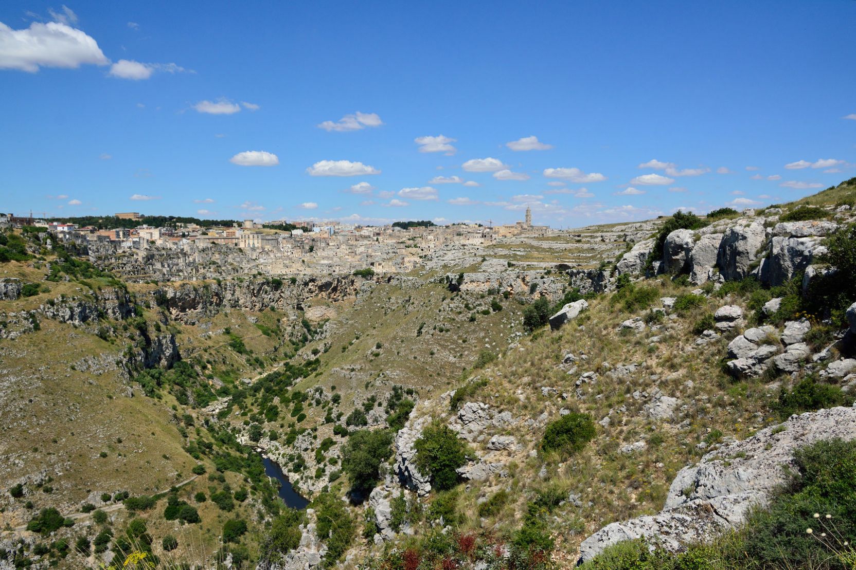
The Murgia Materana Historical Natural Archaeological Park, also known as the Murgia Materana Park, is located on the opposite side of the Gravina di Matera from the Sassi and the town. The park extends over 8,000 hectares and is characterized by a barren pre-Murgian landscape, crisscrossed by limestone valleys and canyons. It is the wild and original counterpart to the city of the Sassi.
Rock Churches and Settlements
The park is home to approximately 150 rock-hewn churches. Unlike urban churches, these structures maintain an intimate connection with their natural and pastoral context. Among the main historical sites are the Crypt of the Original Sin (known as the Sistine Chapel of rock art due to its 9th-century fresco cycle) and the Murgia Timone complex.
Biodiversity
The canyon's microclimate favors the coexistence of over 900 botanical species (about a third of Lucanian flora). The area is a Site of Community Importance (SCI) for the protection of birds of prey, particularly the lesser kestrel (Falco naumanni), which nests in the roofs of the Sassi and hunts in the Murgia grasslands.
Use and connections
The park can be visited via a network of hiking trails. A direct pedestrian connection between the Sassi and the Murgia is provided by a path that descends to the bottom of the ravine and crosses the stream via a suspended Tibetan bridge, before ascending the opposite slope to the archaeological viewpoints of Murgia Timone.
-
Agriturismo Masseria Prichicca
Contrada Caccamone
74011 Castellaneta (TA) - Italy
Tel: +39 339 8171006
Email: info@masseriaprichicca.com
VAT: IT02232900734
CIN: IT073003B500124671 -
Contact Privacy Email Map Phone Whatsapp 
Credits: basilicatanet.com
 Sito Italiano