In the inland areas that open up beyond the Ionian coast, the landscape changes dramatically. The flat coastal landscape gives way to one of Italy's most impressive and spectacular geomorphological structures: the
Terra delle Gravine Regional Natural Park. This area, which unites the municipalities of
Castellaneta,
Laterza,
Ginosa,
Mottola,
Palagianello, and
Massafra, is crisscrossed by deep karst canyons carved out over millennia by watercourses.
This is not only an extraordinary geological phenomenon, but also a treasure trove of biodiversity and culture, preserving archaeological evidence dating back to prehistory and continuing through the millennia, all the way to the Middle Ages.
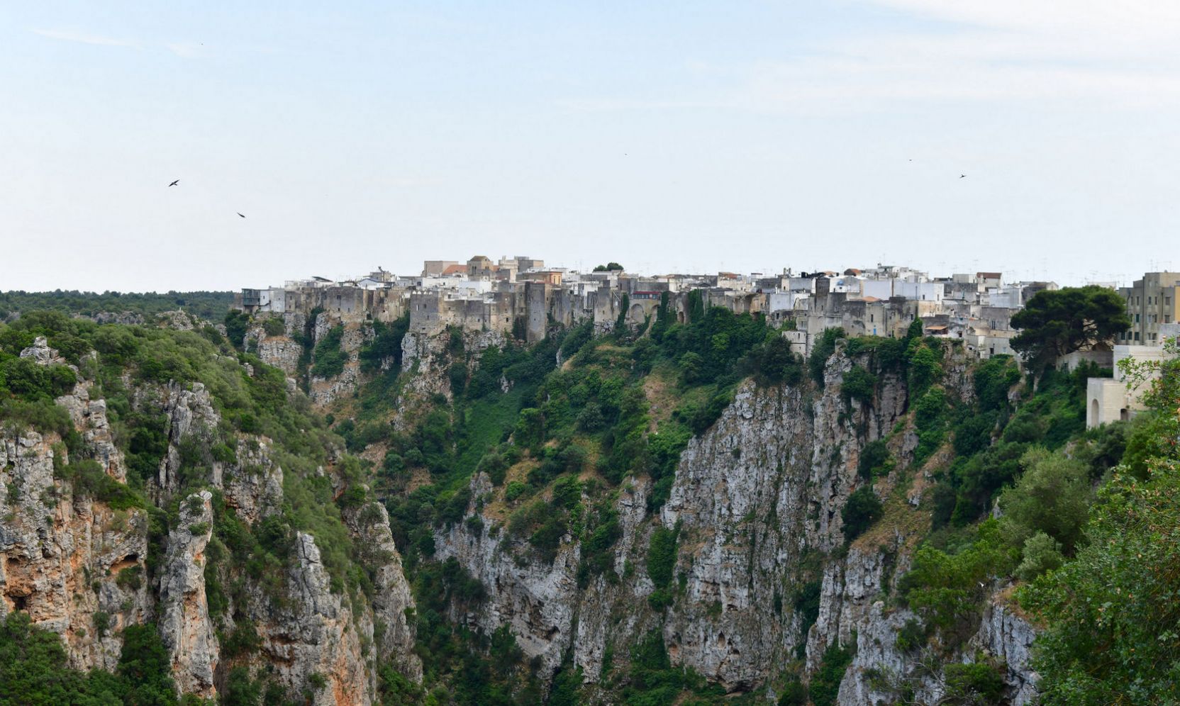
The Geography of Canyons
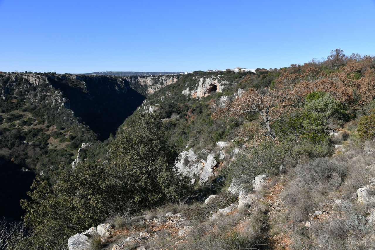
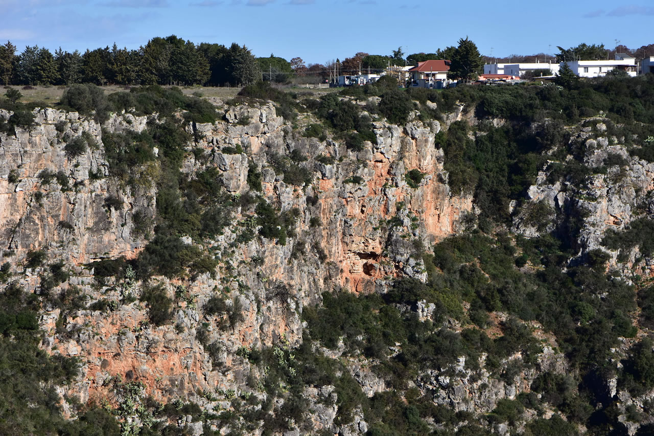
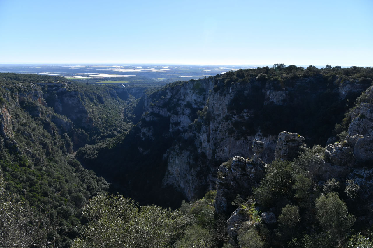
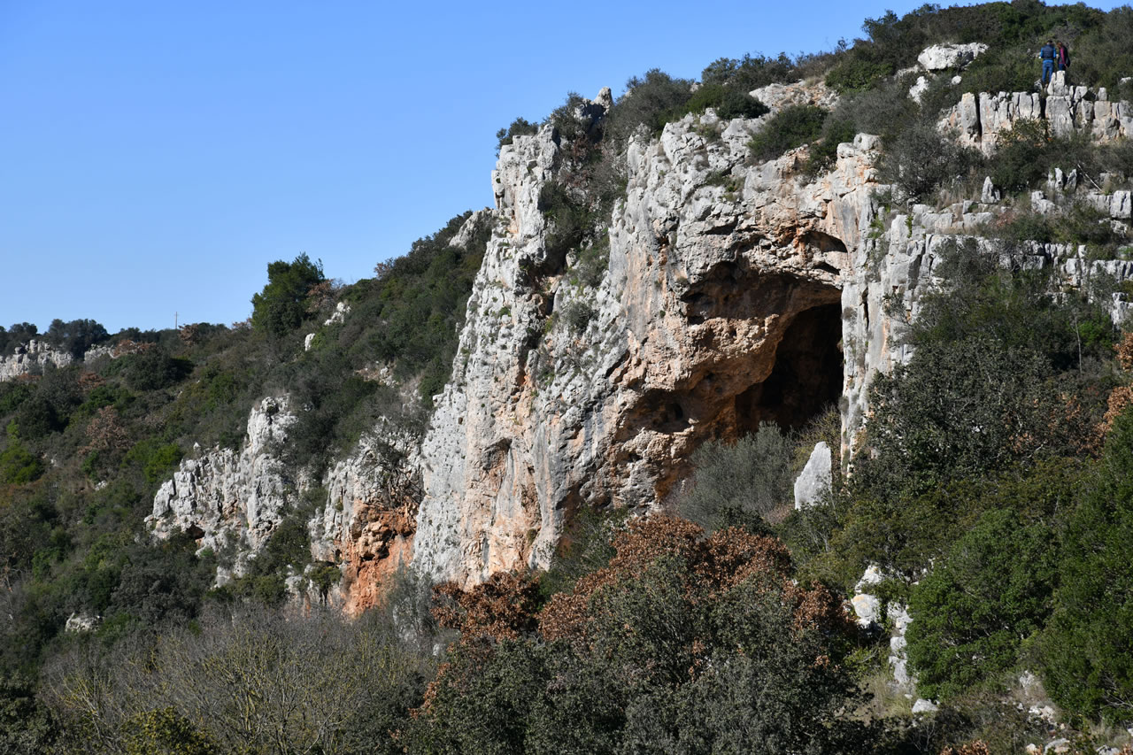
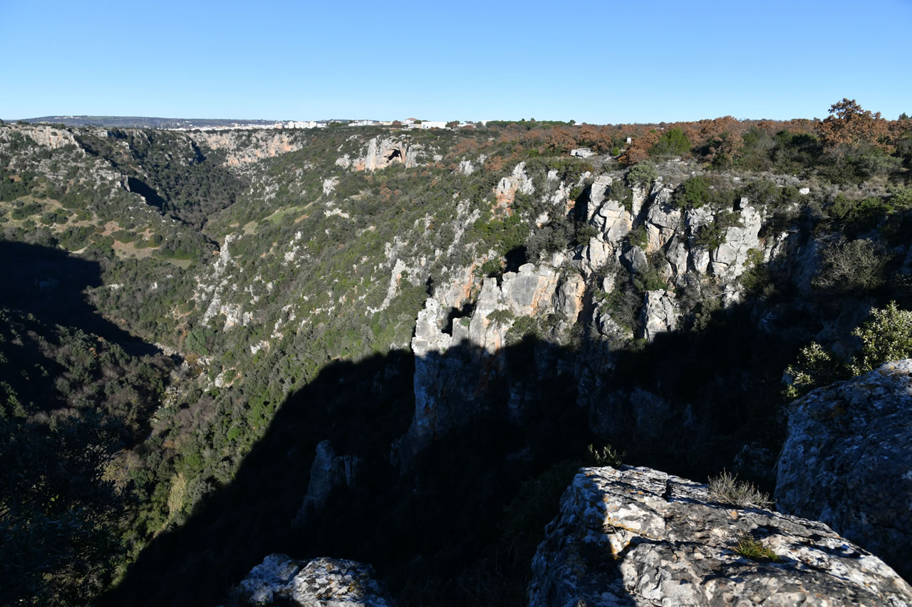
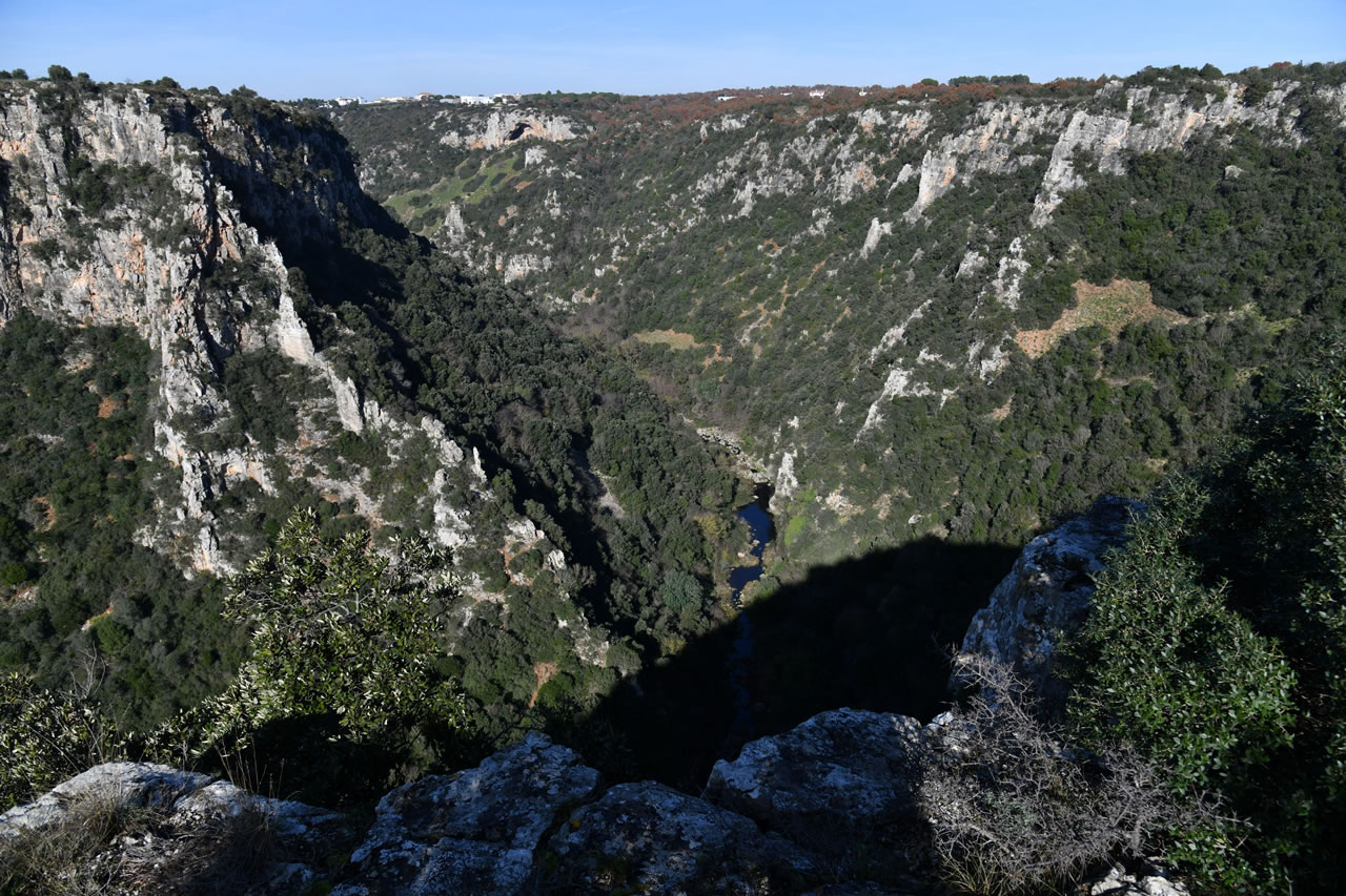
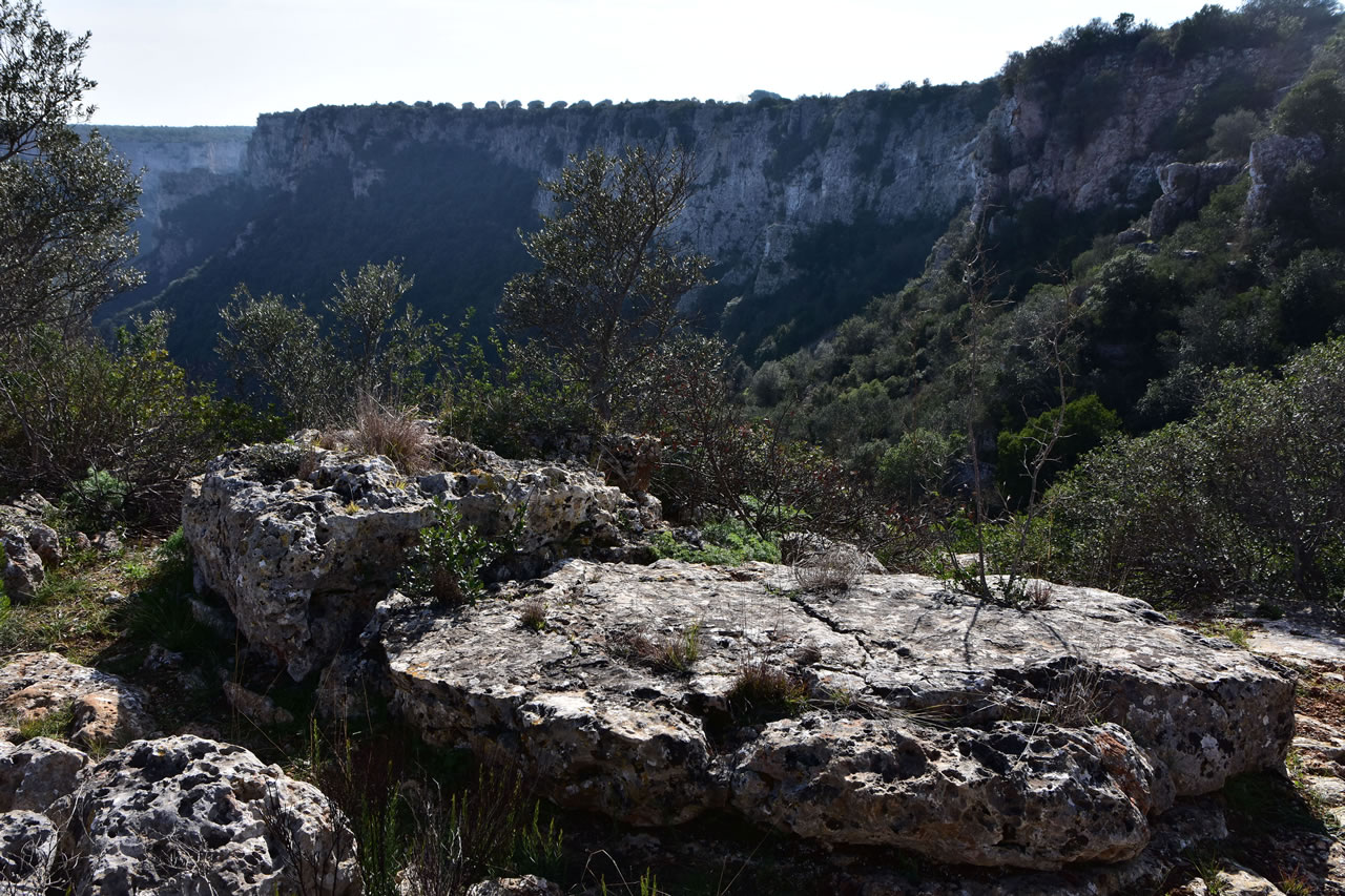
Gravines are true canyons that open at the center of rocky complexes, vertical walls, and plunge down to over 200 meters toward the bottom of the rivers or streams that have carved them out over millennia. Within them, a unique microclimate has been preserved, supporting plant and animal species that have disappeared elsewhere.
The Gravina of Laterza
It is one of the largest canyons in Europe. 12 kilometers long and over 200 meters deep, it is distinguished by its vertical limestone walls. It is home to the LIPU Gravina di Laterza Oasis, a sanctuary for rare birds of prey such as the Egyptian vulture (the smallest European vulture), the lesser kestrel, and the lanner falcon.
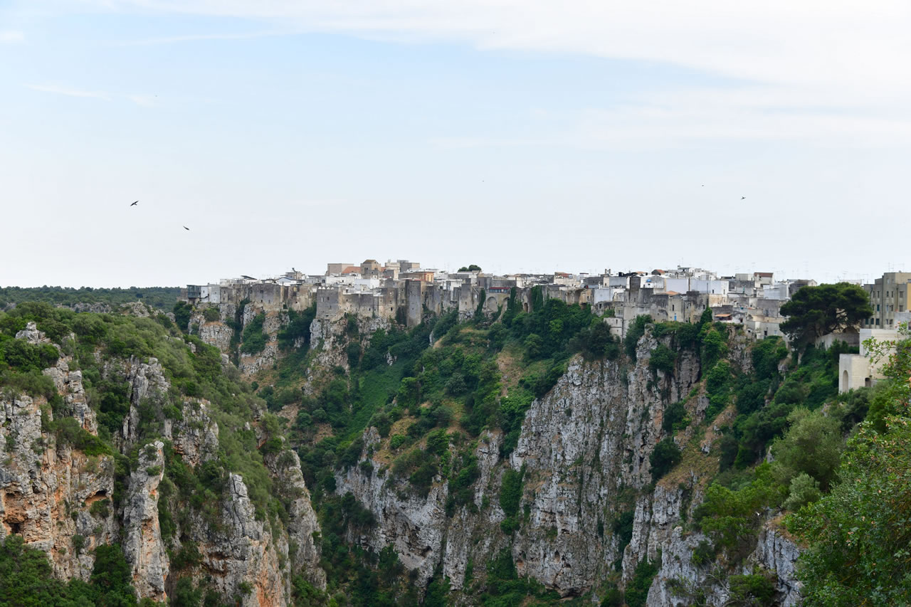
The Gravina of Castellaneta
It literally embraces the historic center of the town, which stands perched on the edge of the canyon. It reaches a depth of 145 meters and is characterized by dense spontaneous vegetation that colonizes the rocky terraces.
The Gravina of Ginosa
surrounds the entire old town. Unlike the other ravines, it displays significant historical human influence along its slopes, with hundreds of artificial caves arranged on multiple overlapping levels.
Prehistory
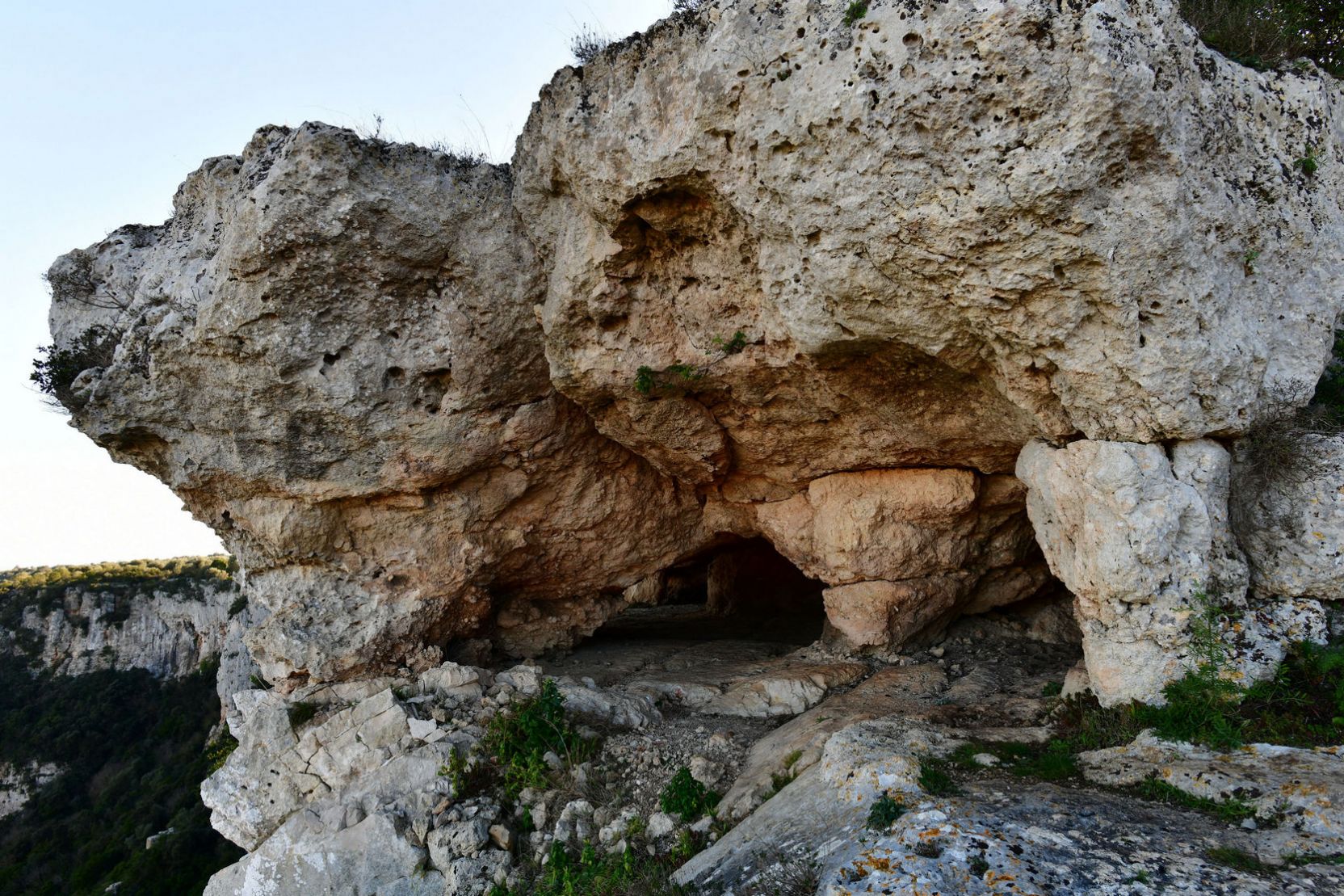
The Land of the Gravine has been a safe haven and a hub of life for millennia. The combination of the friability of the limestone rock (known as "tuff") and the natural protection of the canyon allowed the development of a true rock civilization.
The main historical evidence has emerged through studies, research, and archaeological excavations that have revealed the importance of rock sites in human evolution from the Paleolithic to the present day.
The deepest caves and rock shelters along the sides of the canyons have yielded fossils, flint tools, and ceramic fragments, attesting to human presence since the
Paleolithic and Neolithic periods. These sites offer archaeological evidence showing how humans exploited the water resources and climatic protection of the ravines for millennia, before moving permanently to the upper plateaus.
There are important Paleolithic sites, particularly in Ginosa, where excavations conducted in recent years in the Oscurusciuto rock shelter have uncovered one of the last Neanderthal settlements before their extinction.
Throughout the Gravine Park, there are hundreds of caves and rock shelters that have yielded Neolithic and Metal Age finds.
Protohistory and Historical PeriodThe Classical Period is well documented, with Peucetian settlements and contact with the people of Magna Graecia, protohistoric and historical settlements up to the Middle Ages (6th-14th centuries), and the formation of Rupestrian Villages (churches, houses, and olive presses carved into the rock).
La Civiltà Rupestre
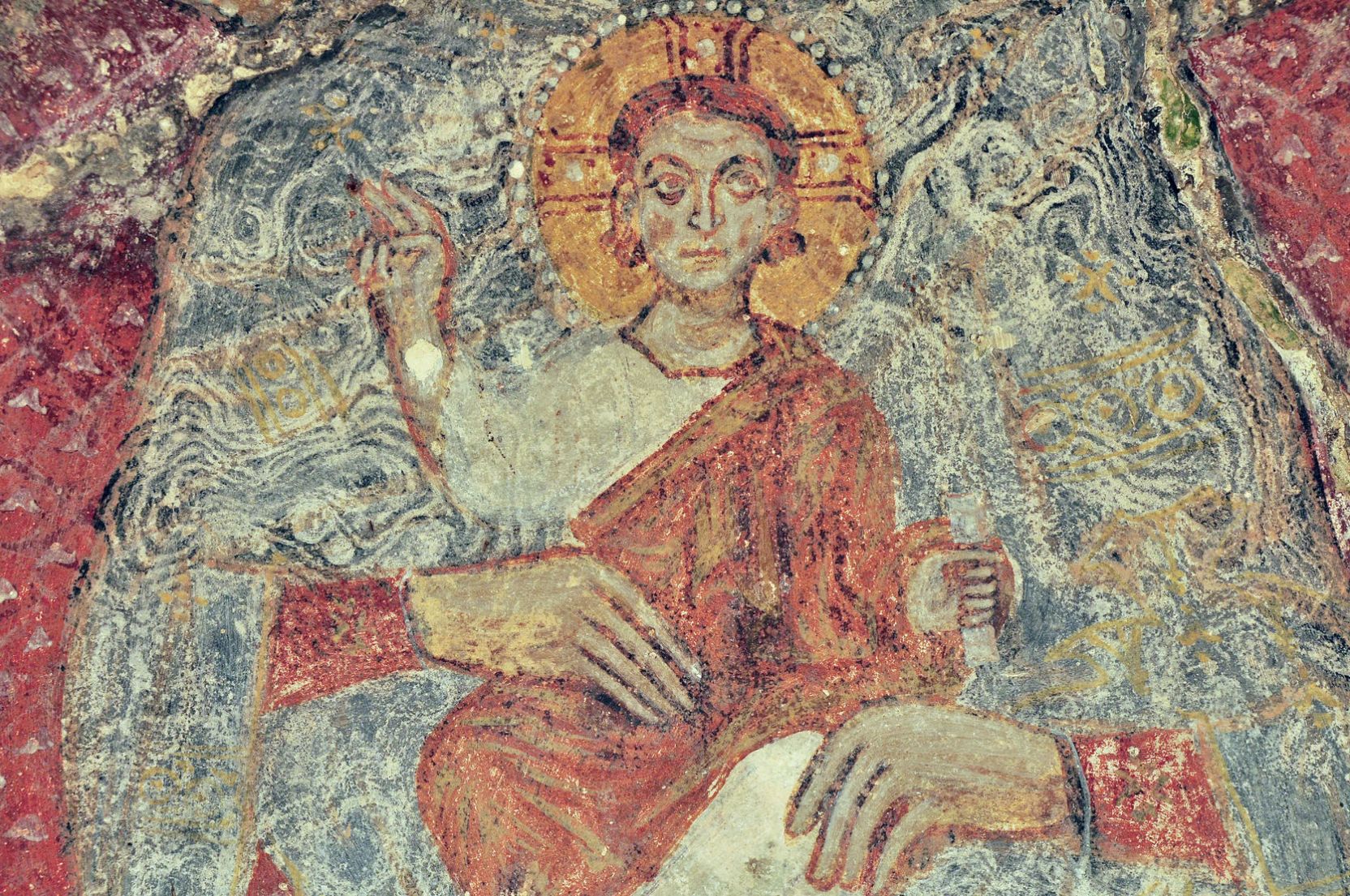
The Classical Period is well documented, with Peucetian presence and contact with the people of Magna Graecia, protohistoric and historic settlements up until the Middle Ages (6th-14th centuries), and the formation of the Rupestrian Villages (churches, houses, and olive presses carved into the rock).
The Rupestrian ChurchesThe area is one of the most important medieval archaeological sites in the Mediterranean. Between the 9th and 14th centuries, Basilian monks and local communities carved splendid churches into the rock, decorated with Byzantine-style frescoes.
- Mottola: Known as the "Spy of the Ravines," its territory houses the Rupestrian Church of San Nicola, nicknamed the "Sistine Chapel of Rupestrian Civilization" for the exceptional state of preservation of its medieval frescoes.
- Massafra and Palagianello: They preserve extremely valuable rock-hewn complexes, such as the Church of Sant'Antonio Abate and the San Leonardo Complex, veritable underground temples with naves, apses, and altars carved directly from the tuff rock.
Rock-Dug Villages and Cave-DwellingsIn the ravines of Ginosa and Castellaneta, entire villages carved into the rock are clearly visible. In Ginosa, the Rione Rivolta and Rione Casale districts bear witness to how the population lived in cave-dwellings until the first half of the 20th century. These hypo-environmental structures were fully-developed dwellings, complete with stables, water cisterns, and sewer systems.
Hiking and Trekking
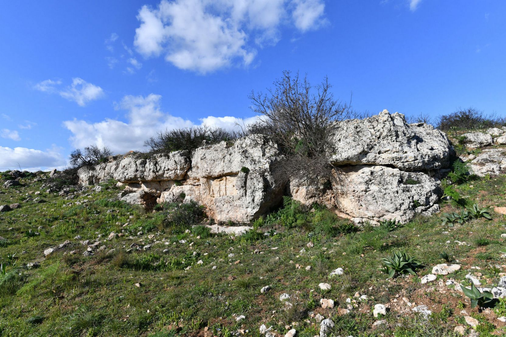
The
Terra delle Gravine Regional Natural Park is crisscrossed by a network of mapped trails. Hikes range from scenic routes along the upper edges (accessible to all) to technical treks along the ravine floors, requiring authorized guides and suitable footwear.
Logistics and ConnectionsThe area is easily accessible from the Ionian coast via provincial roads in about 20-30 minutes by car. The historic centers of Castellaneta, Laterza, and Ginosa offer immediate and safe panoramic views of their respective canyons without the need for hiking.
Visitor Centers and Park FacilitiesThe vastness of the Terra delle Gravine Regional Natural Park requires precise logistical reference points for access and scientific understanding of the area.
LIPU Gravina di Laterza Oasis Visitor CenterLocated on Via Selva San Vito in Laterza, it is the main center for birdlife monitoring and nature tourism. The facility features a classroom with an explanatory diorama of the ravine, equipped viewing paths, and scientific panels. Guided trails for observing large nesting birds of prey begin here.
Conca delle Gravine Museum Network:An integrated cultural infrastructure that coordinates the archaeological sites and museums of the municipalities of Ginosa, Laterza, and Castellaneta. It maps tourist flows and offers guided tours to the protected underground areas, maximizing the enjoyment of the ceramic and prehistoric finds discovered in the canyons.
Local Info PointsInstitutions located in the historic centers (such as the Massafra Info Point or the Laterza Environmental Education Centers) provide maps of the riverbed trails, contact information for AIGAE-authorized hiking guides, and opening schedules for the frescoed rock churches.



 Sito Italiano